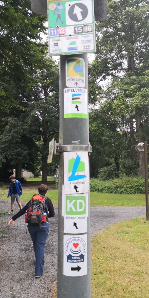
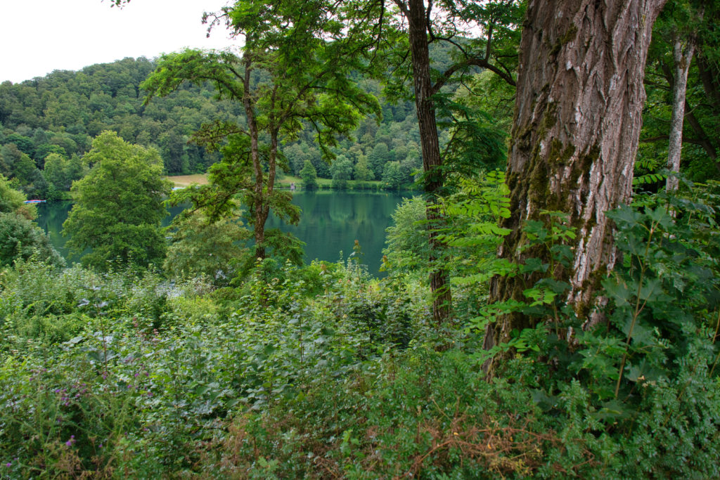
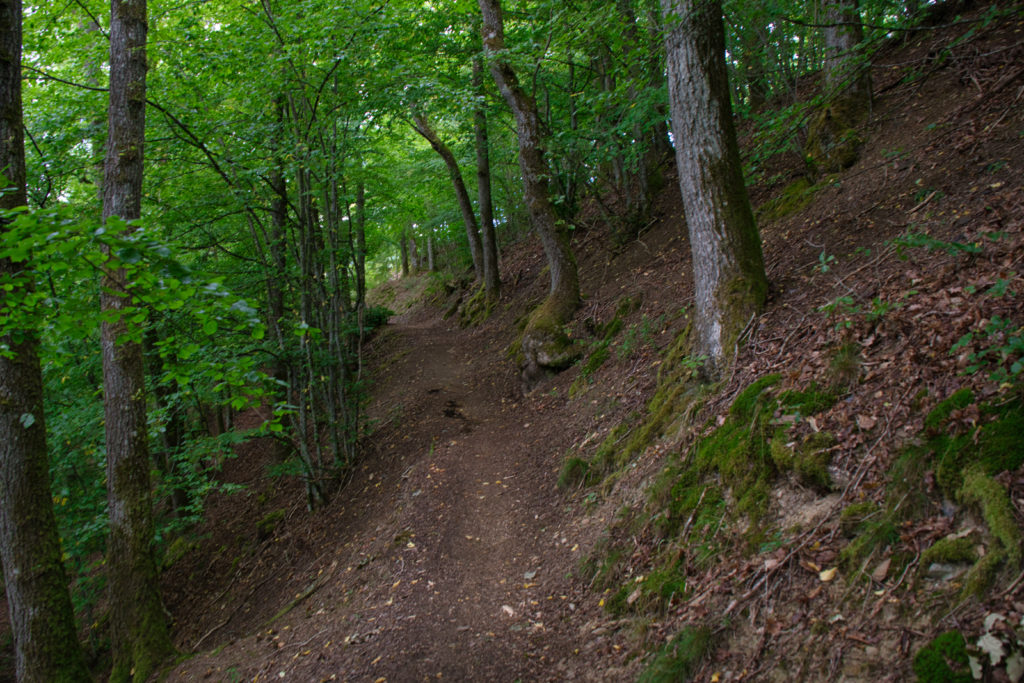
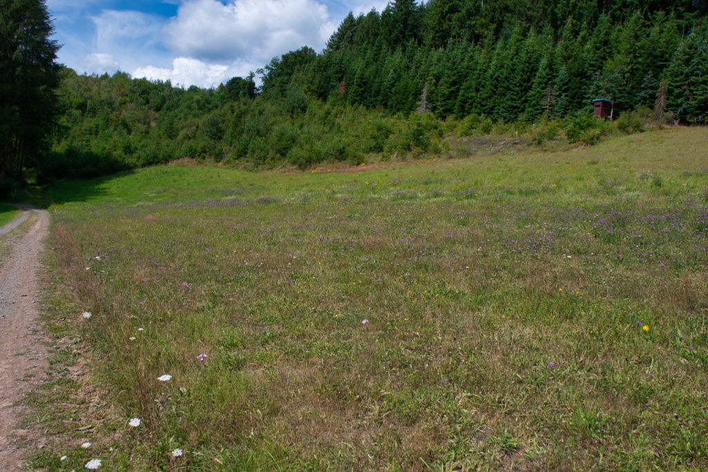
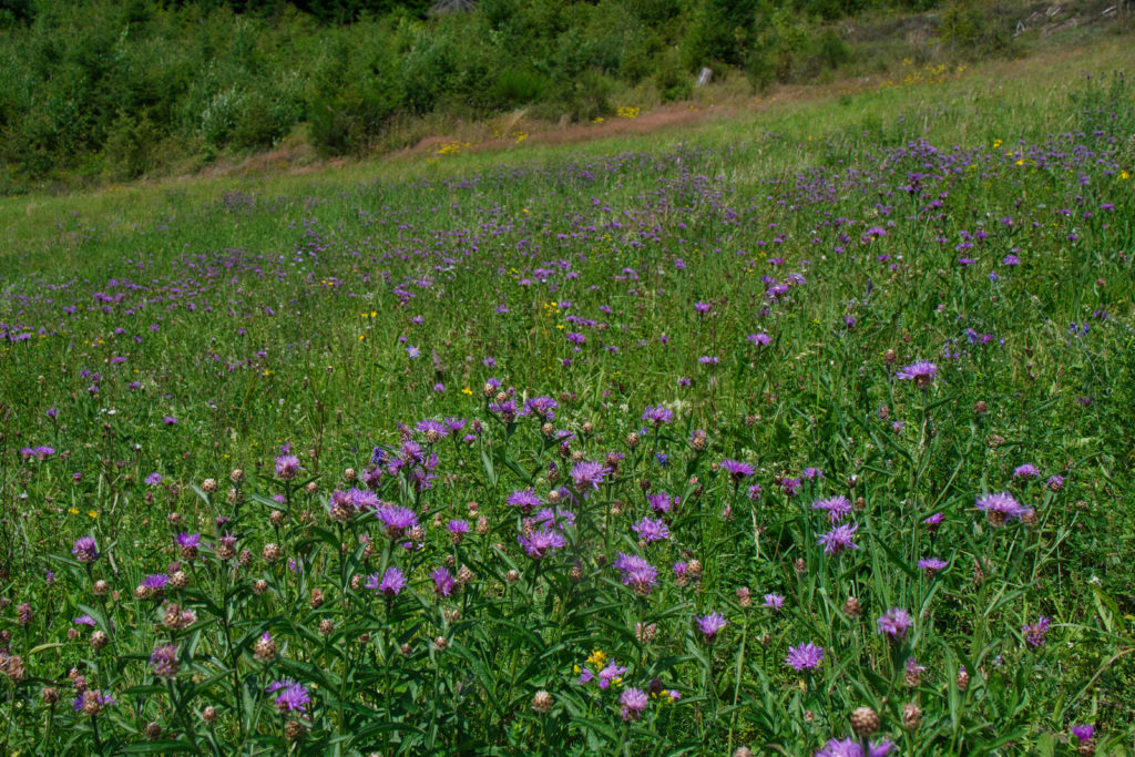
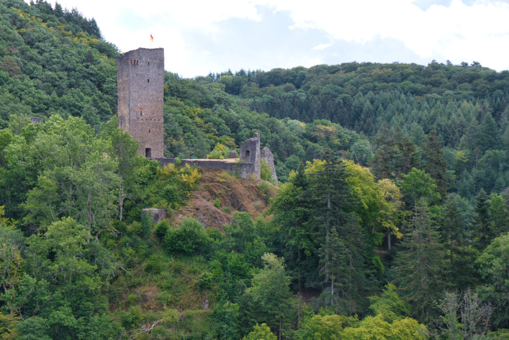
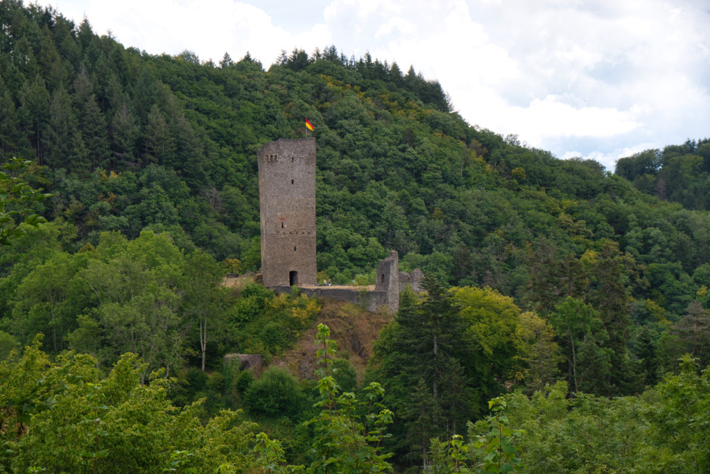
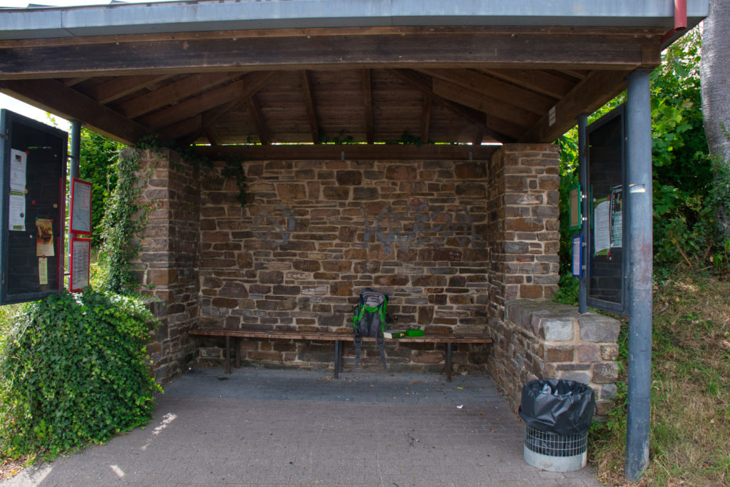
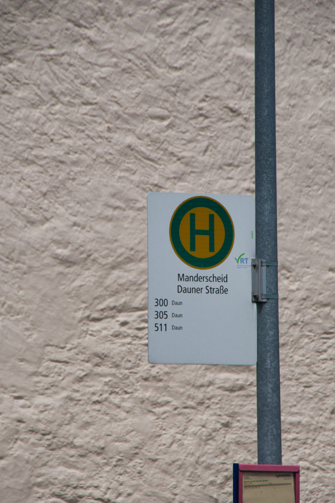
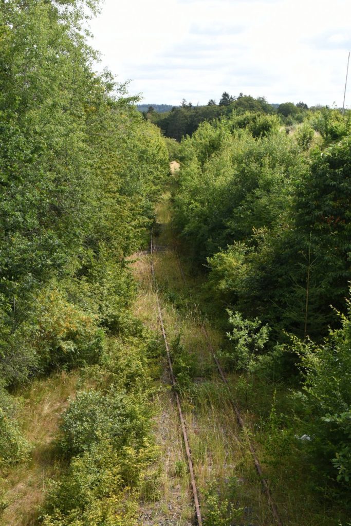
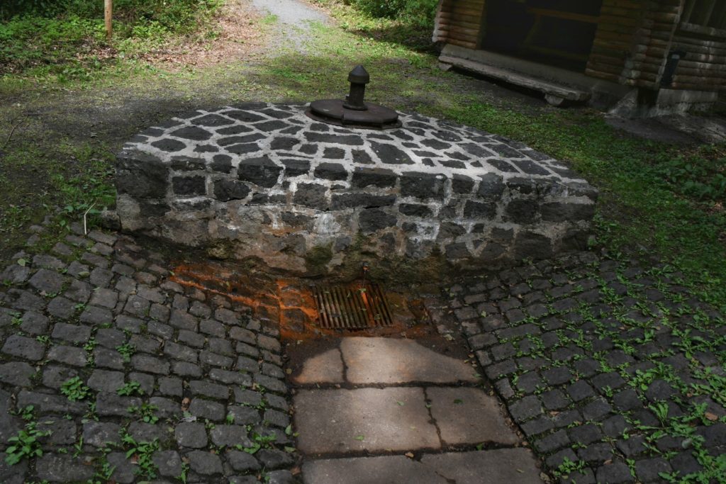
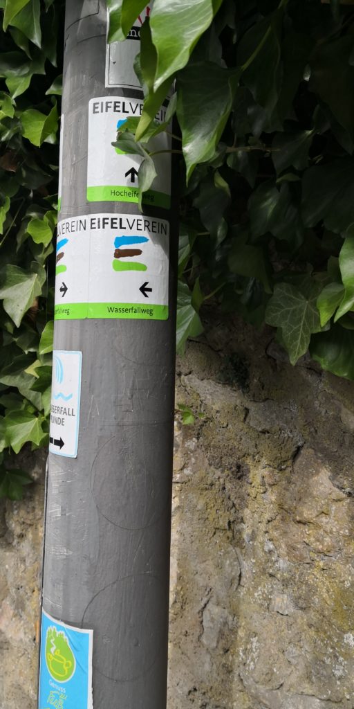
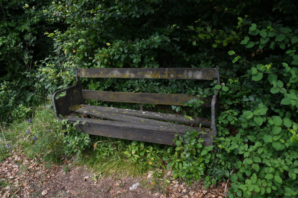
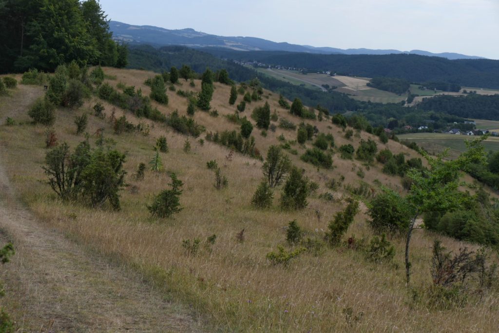
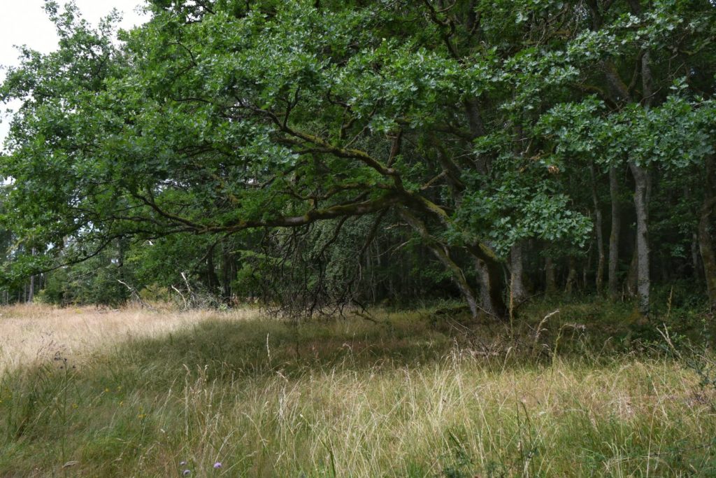
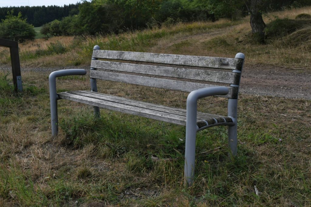
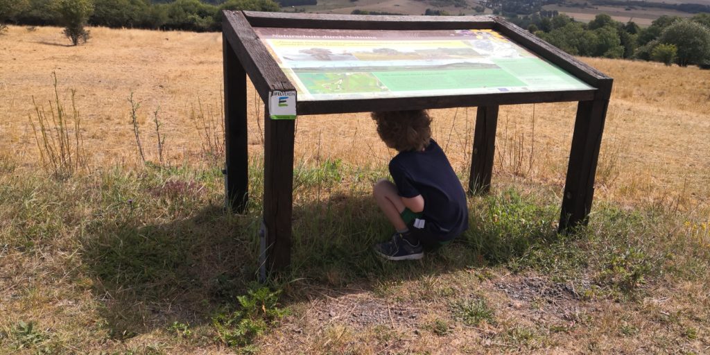
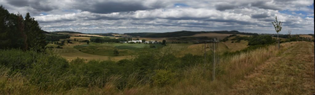
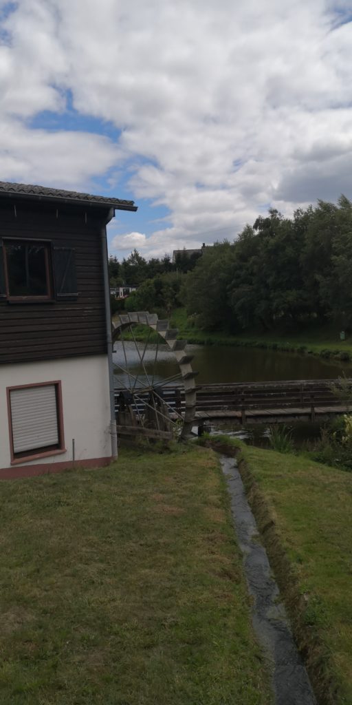
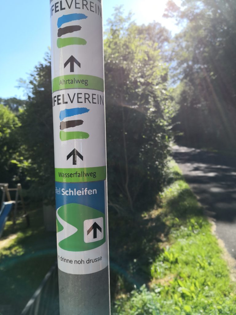
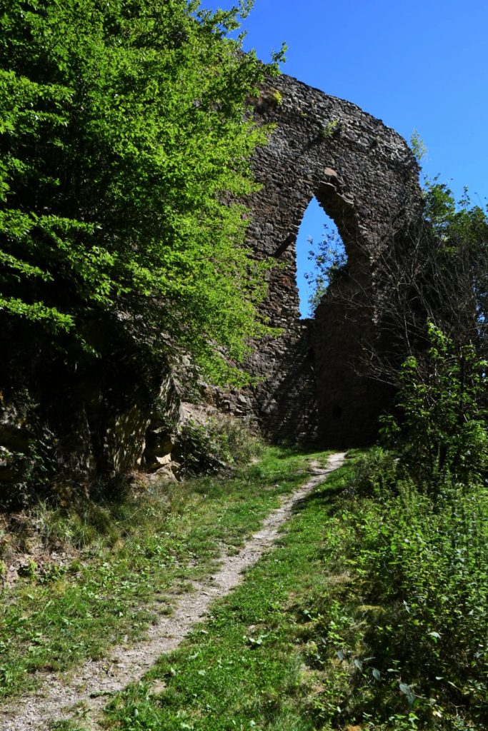
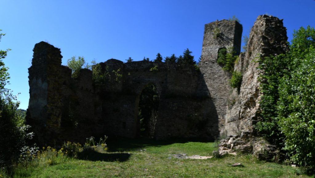
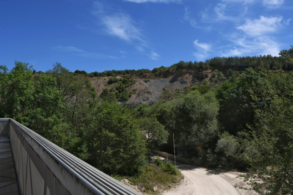
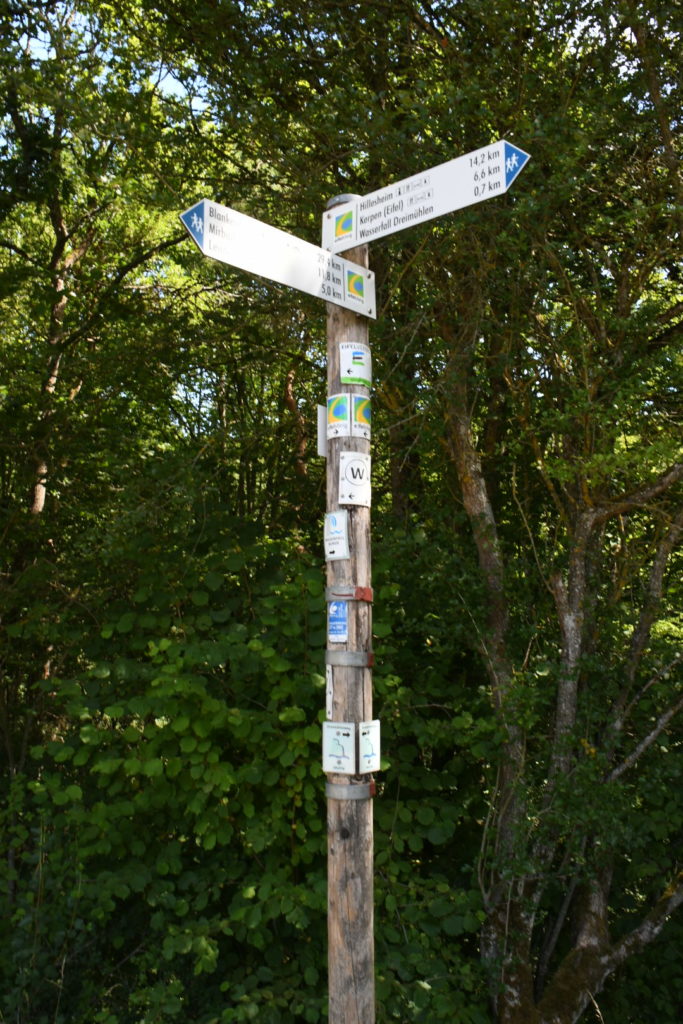
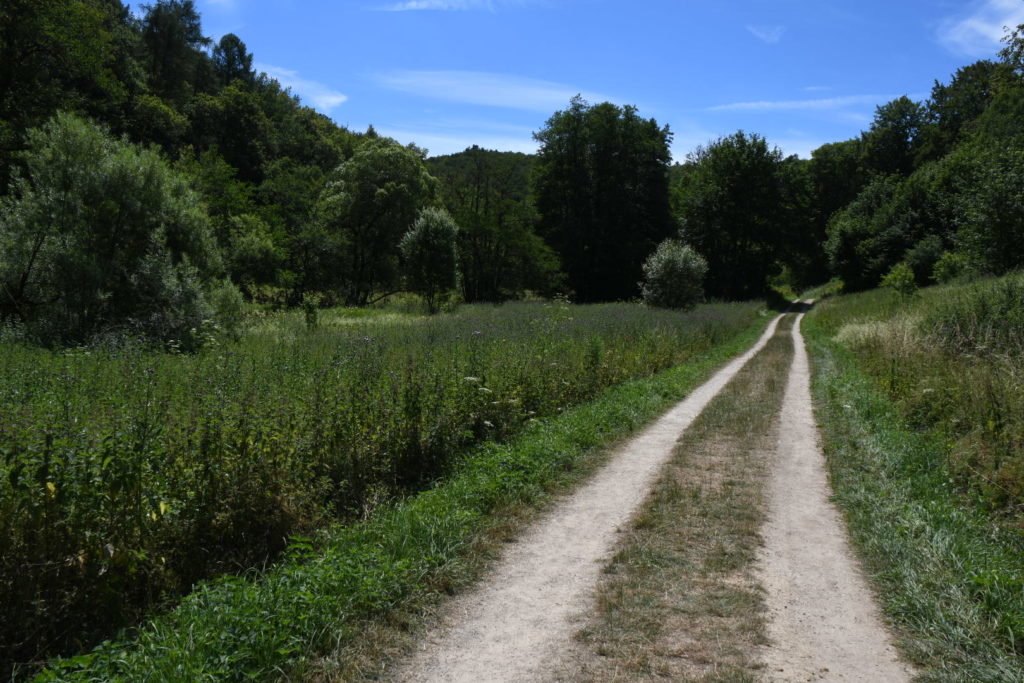
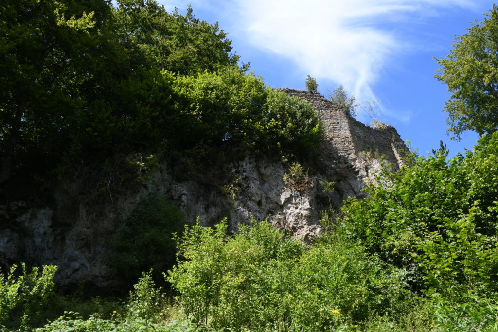
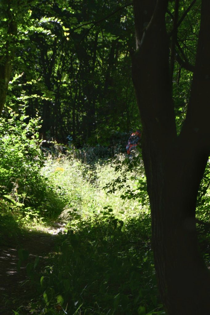
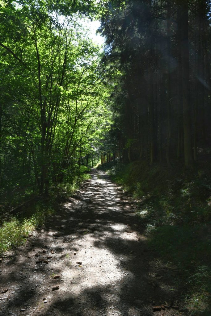
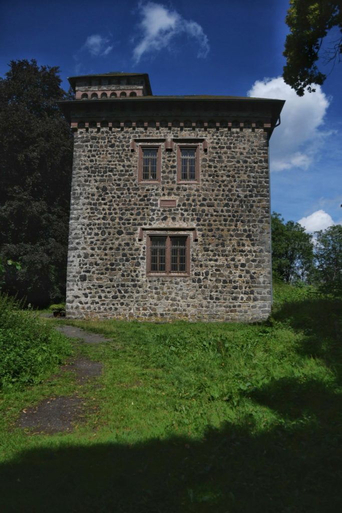
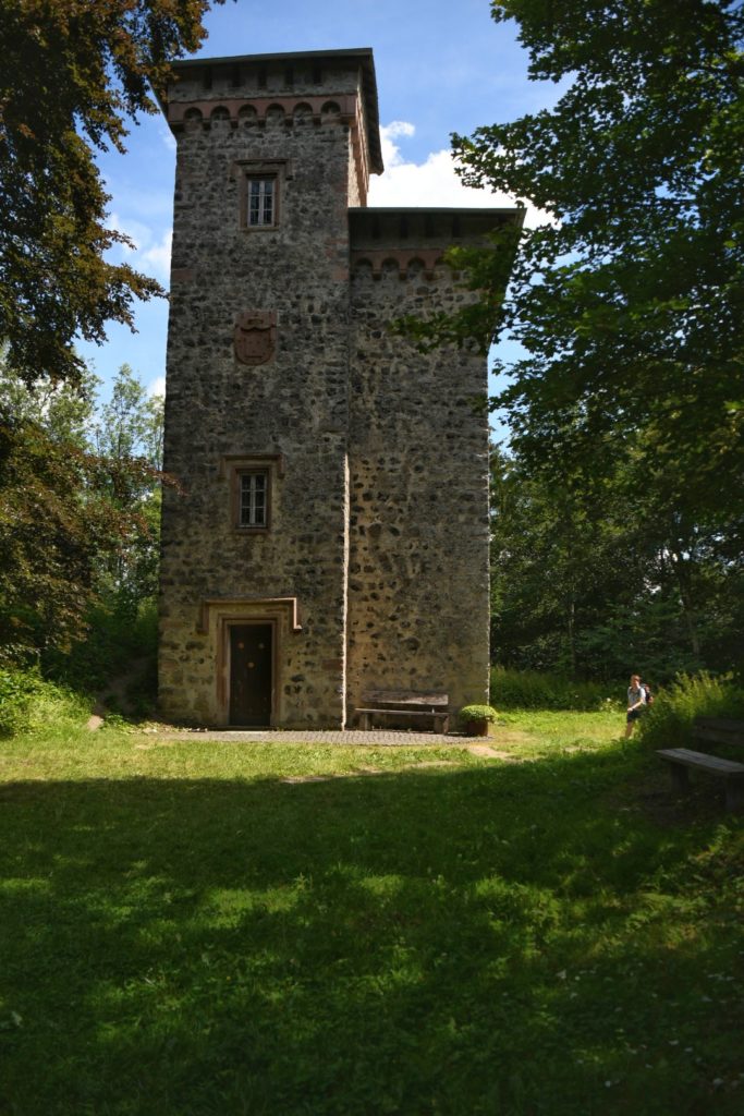
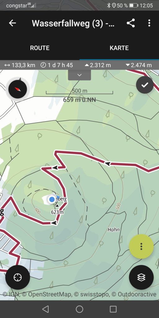
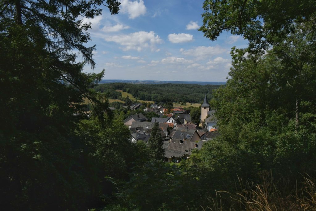
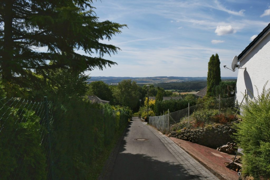
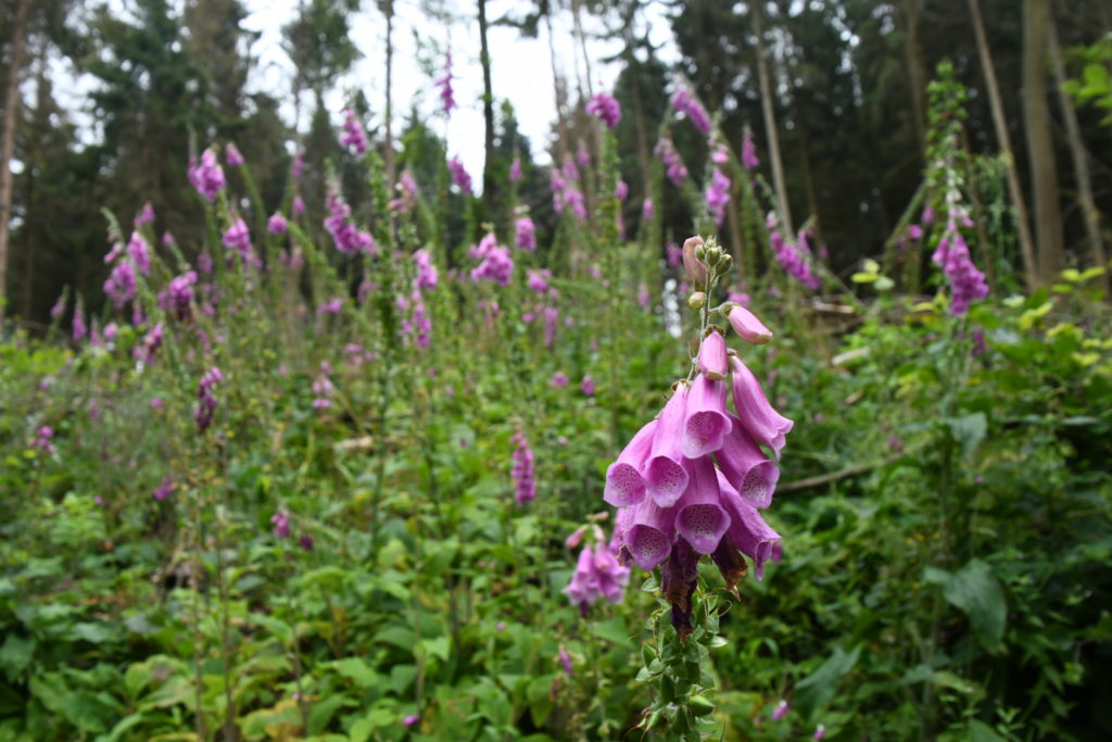
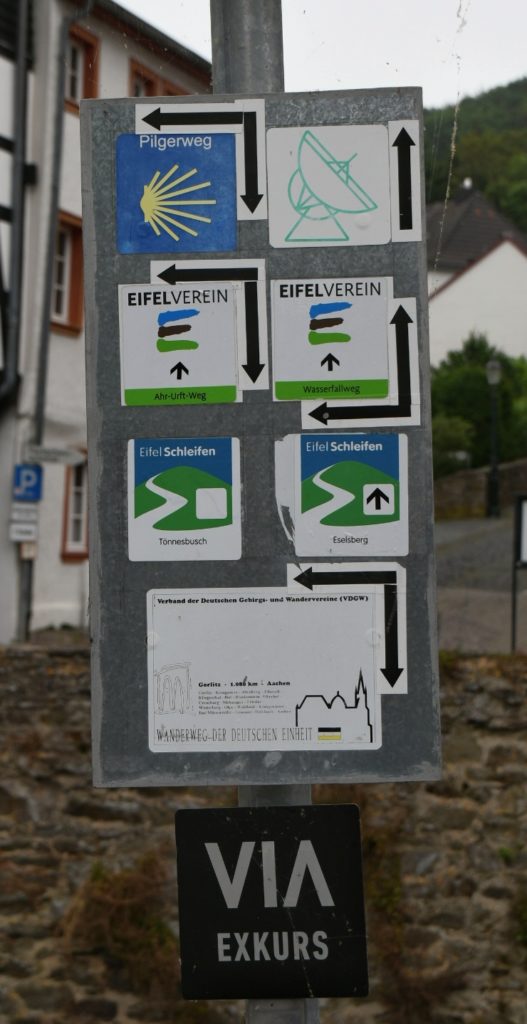
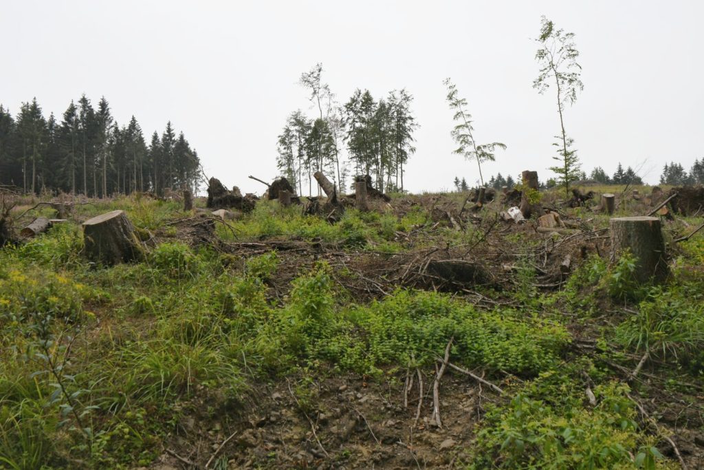
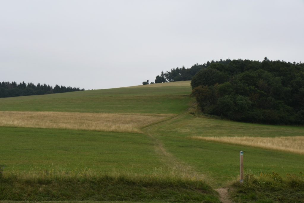
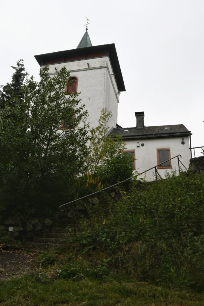
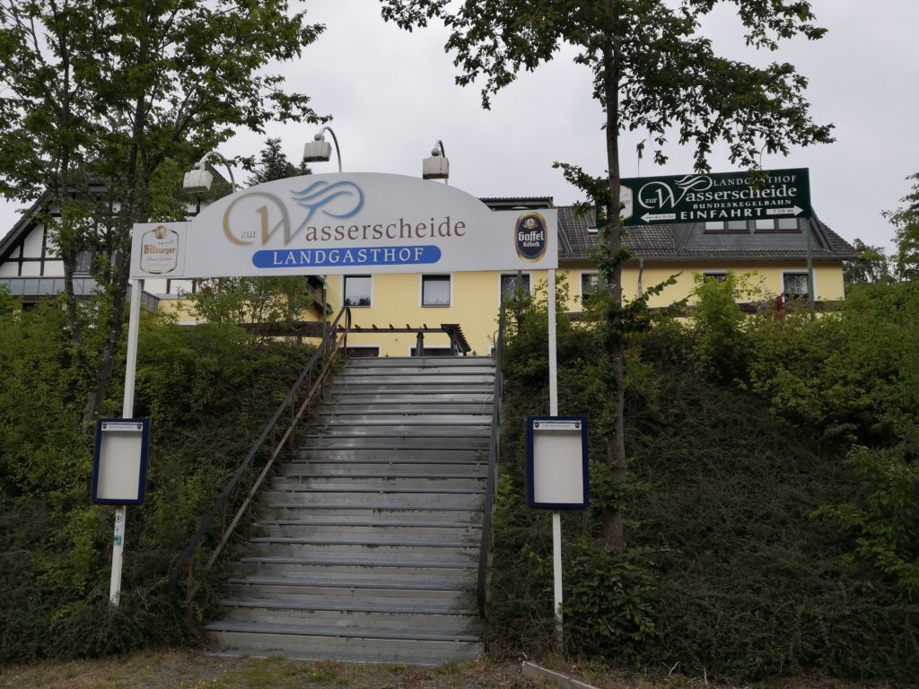
7. Tag Daun – Manderscheid, 17,7 km
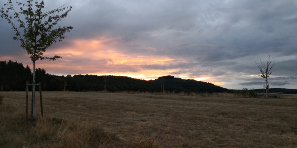
Last day, rain at breakfast time but after that mainly cloudy, sometimes sunny, pleasant temperature.

Last day, rain at breakfast time but after that mainly cloudy, sometimes sunny, pleasant temperature.
Wolkig bis sonnig, ca 24 Grad.

Zeitweise bewölkt, aber ansonsten sonnig und warm

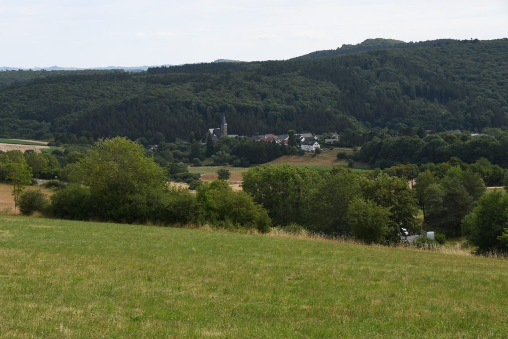
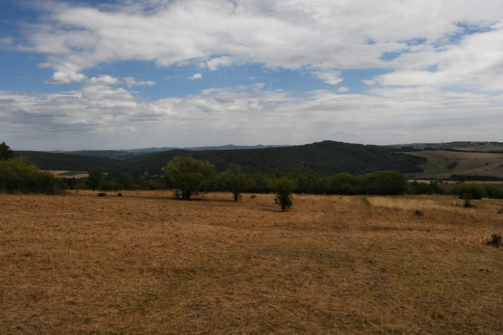
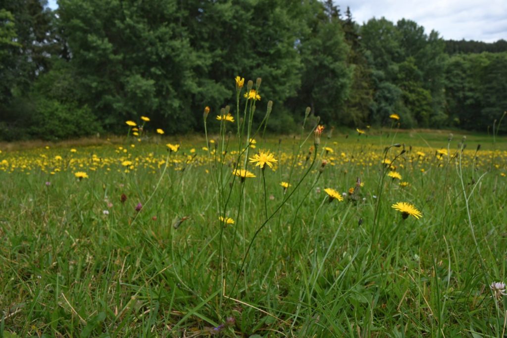
Warm und sonnig, was will man mehr…
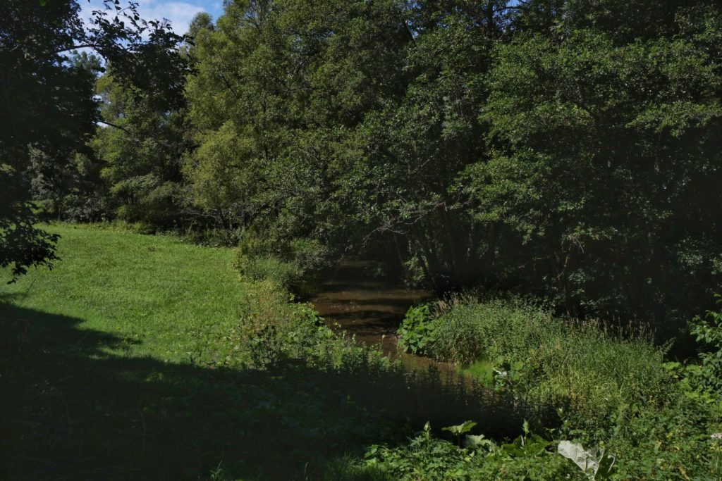
Wetter sehr gut, sonnig und warm
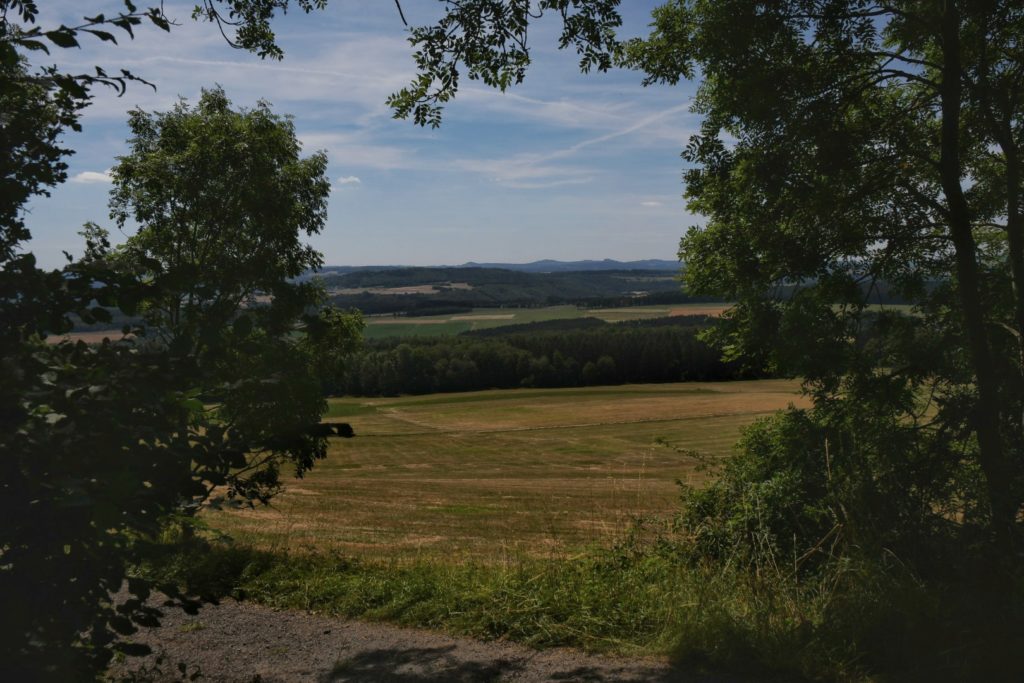

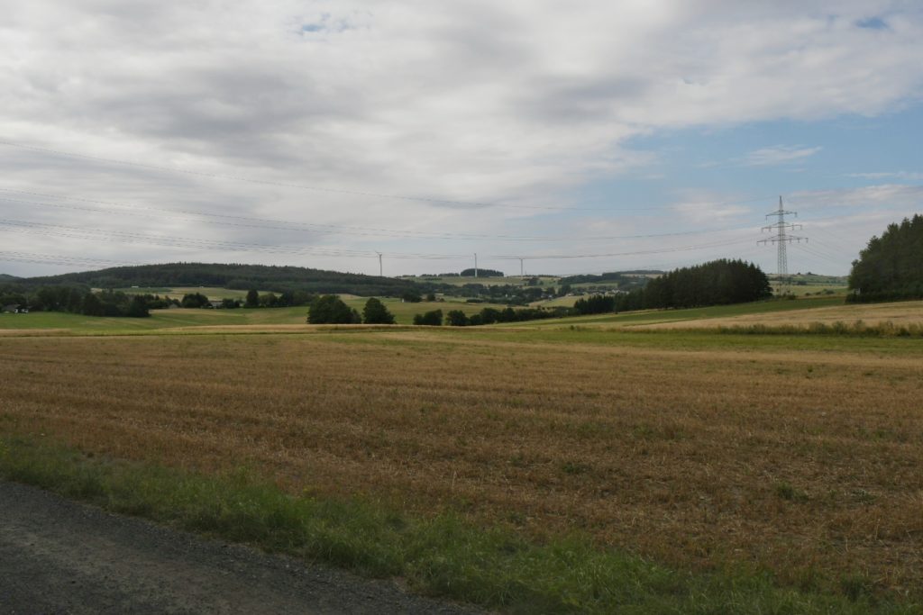
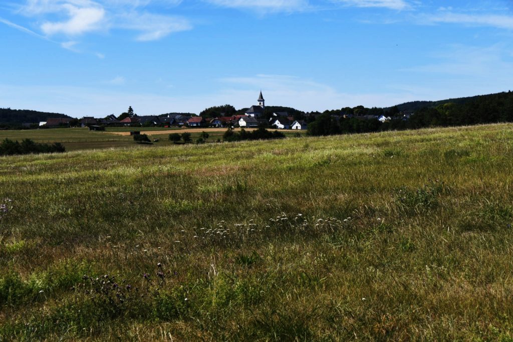
Wetter sonnig, anfangs etwas kühl, später ca. 20 Grad, gutes Wanderwetter.
Sunny, in the beginning fairly fresh, later around 20 degrees.

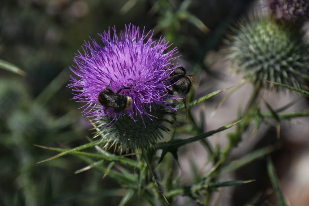
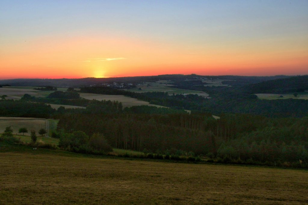
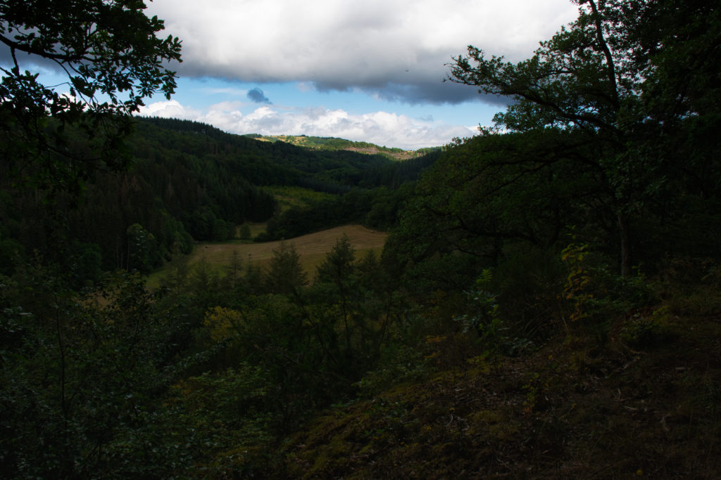
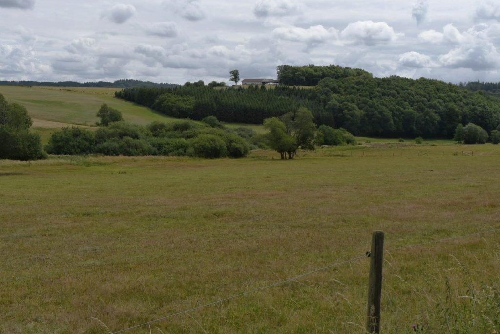
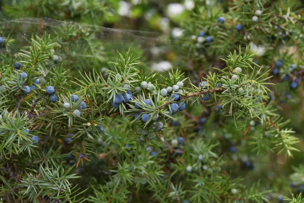
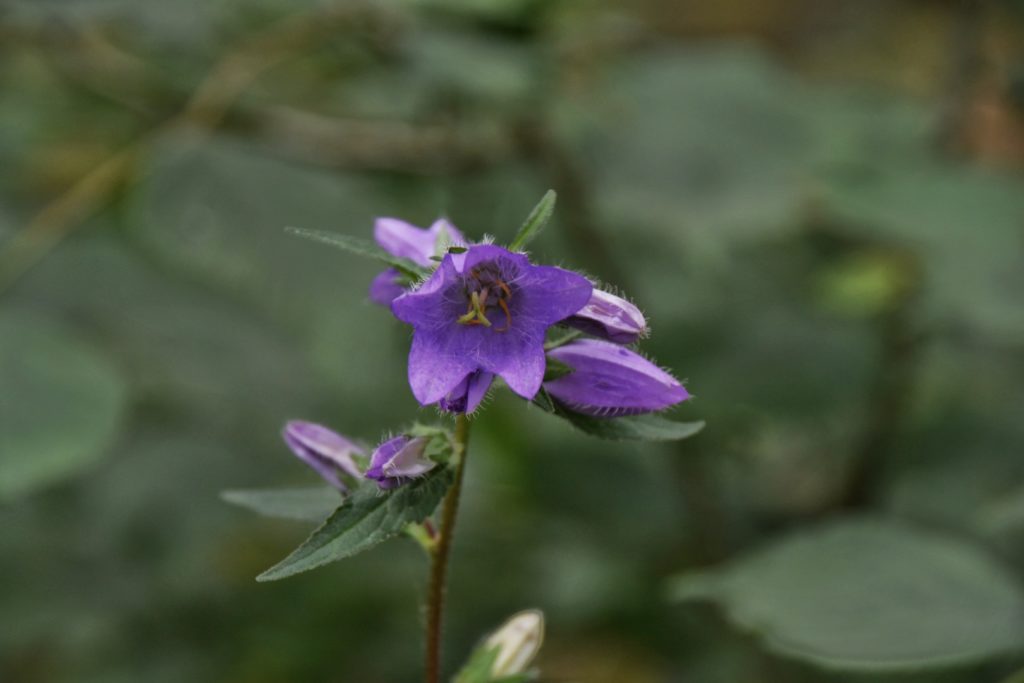
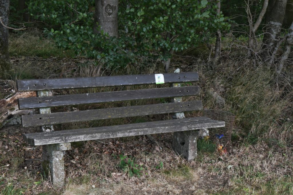
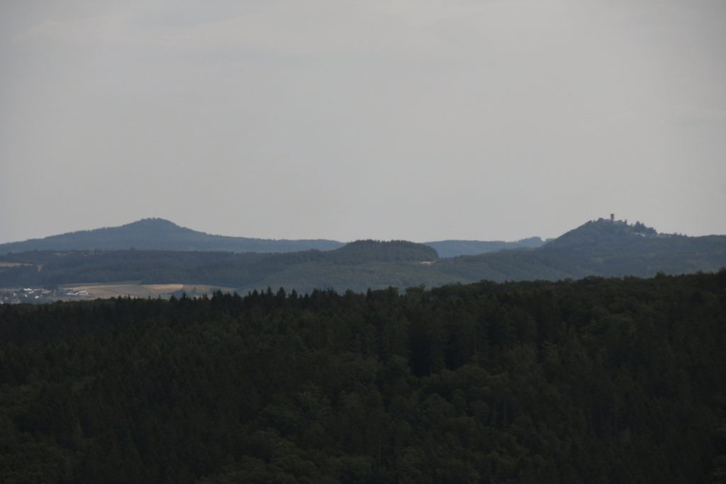
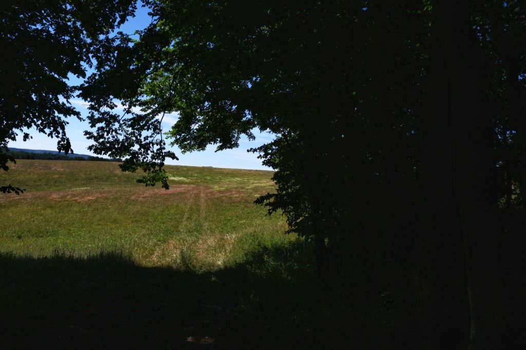
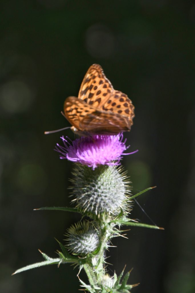
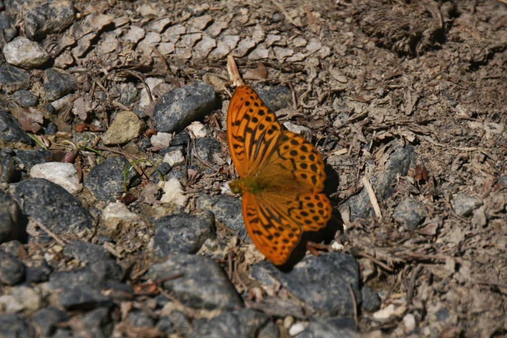
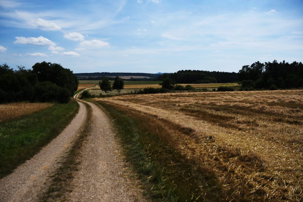
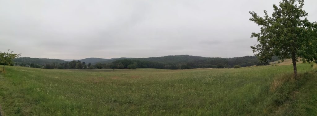
Temperatur ca. 15 Grad, gut zum Wandern, nicht zum Fotografieren…
Temperatur is great for hiking, but view is Not good for taking fotos…

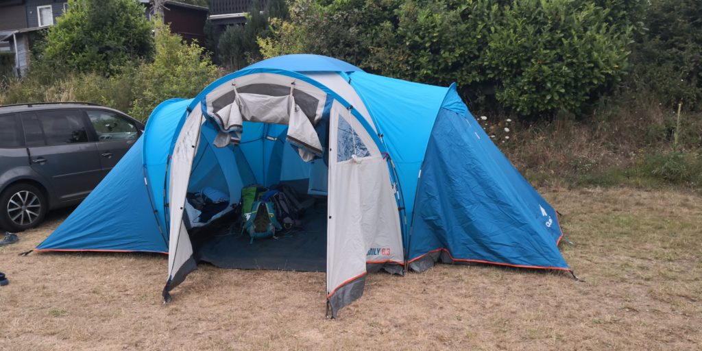
Statt vier Wochen Australien eine Woche Wandern in der Eifel. So ungefähr sieht unser Covid-19 Sommerurlaub aus. Aber ich wollte sowieso einen Blog ausprobiere, und so gibt es ihn nun – zum Teil auf englisch – von der Eifelwanderung
Instead of travelling four weeks around Australia it’s going to be one week of hiking across the Eifel nearby. But since I wanted to do a travelblog, I will do it the other way around so you Aussie folks can see a bit of our hike …
This is still a bit preliminary, but I will keep working on it…